
The Region, Archived.
We map the Adriatic coast in unprecedented detail. This is not a brochure. This is the region, captured precisely as it stands today.
Interactive Map
The Coastline, Mapped.
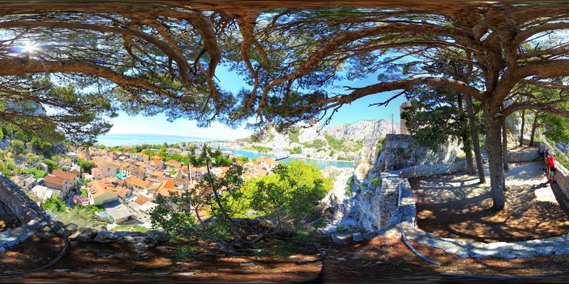
Explore Mirabela in full 360°.
Our first documented flagship site. Drag, zoom, and discover the Cetina canyon — annotated with historical context and navigable hotspots.
Launch Interactive Tour →Omiš · The first chapter
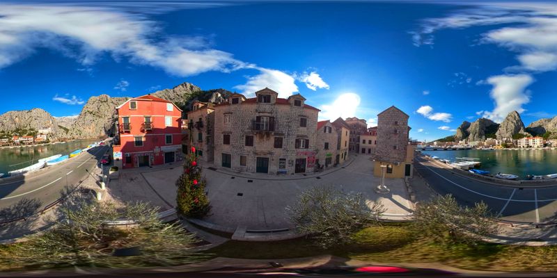
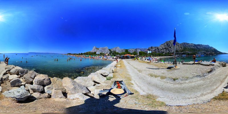
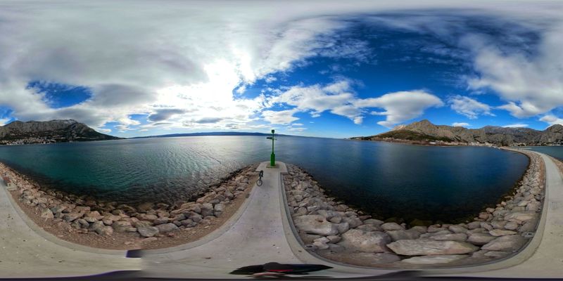
Eight sites. One region. In full resolution.
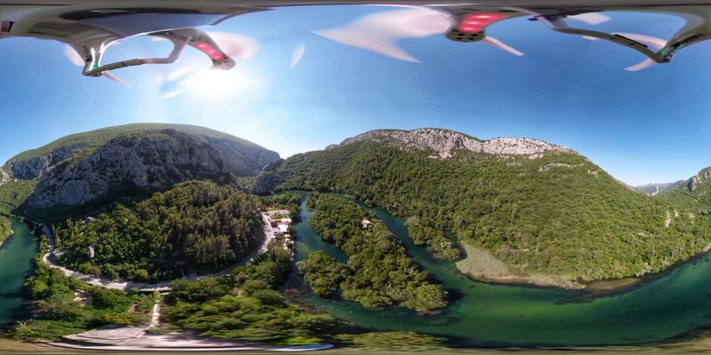
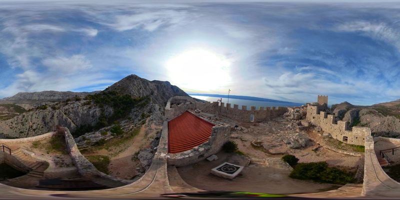
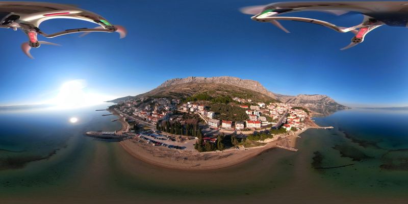
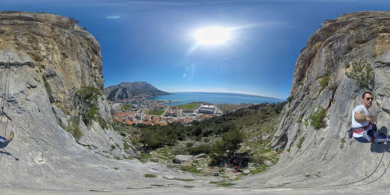
What We Do
360° Virtual Tours
Full-resolution interactive panoramas of cultural heritage sites, embedded where your visitors already are.
Aerial Documentation
Drone-based 360° capture of coastlines, canyons, and landscapes impossible to frame from the ground.
3D Heritage Modeling
Photogrammetry and laser scanning for digital preservation of fortresses, churches, and historic structures.
Google Street View
Publishing and optimization on the world's largest mapping platform — your content, discoverable at scale.
Built for tourist boards.
Funded collaboratively. One stitched experience covering the Adriatic coast. No single board could justify building this alone.
Become a Partner